 Billings Gazette
 Yellowstone Caldera Chronicles is a weekly column written by scientists and collaborators of the Yellowstone Volcano Observatory. This week’s contribution is from Scott K. Johnson, science communication associate for the EarthScope Consortium.
The importance of tide gauges is apparent to anyone who has lived near a coastline, but there are a host of reasons to measure the water level of inland water bodies, too. Sometimes that’s to monitor water cycle trends, like droughts. But there can also be important shorter-term variations, like when storm winds push water toward one area in the Great Lakes — a phenomenon known as a “seiche.” Seiches are measured on Yellowstone Lake, too, but here they are driven by particularly unique processes.
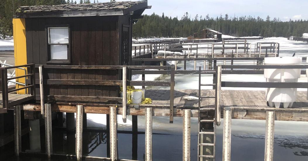
There are multiple records of water levels in and around Yellowstone Lake. Flow at the lake’s outlet into the Yellowstone River has been measured as far back as 1913. Additionally, daily readings of lake level — currently performed at Fishing Bridge — have been noted since 1921. And since 2017, an instrument has been automatically recording precise water levels minute-by-minute near the Grant Village boat dock in the West Thumb of Yellowstone Lake.
Read Full Article Here…(billingsgazette.com)
Home | Caravan to Midnight (zutalk.com)


